Bhopal City GIS
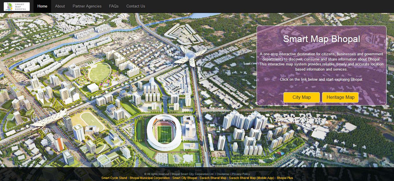
Smart Map Bhopal is an enterprise-wide web-based GIS solution created using ArcGIS platform and seamlessly functions across various the web & mobile devices.
GIS System will provide the complete visualization of Bhopal City area with various point of interest (POI) layers that will help city administrators & citizens to locate POI’s and get information associated with it.
This solution made government data more accessible for the citizens; it not only comprises of different map data representations for citizens to view and scrutinize but also provides citizens with avenues to truly participate by providing feedbacks & report their grievances.
Smart Map Bhopal GIS Application is Live for Bhopal Citizens from 25th June, 2017 in which more than 100 layers has been created covering wide point of interests and Heritage sites.
Live Services:
- Smart map demarcates various boundaries like Master plan boundary, BMC boundary, Zone Boundaries, Ward Boundaries and plot Boundaries.
- Citizens can access ward related information like Corporater, Ward officer name and contact details, Ward population, Male–female Population and SC/ST population.
- Citizens can access their property details like Building name, Owner Name ,Contact details and address on the smart map bhopal along with the photograph of the property. This will be further connected with BMC ERP to enable online payments and checking status.
- Citizens can access around me functionality and can track around there no of Atm, Bank, Hospital and Police stations facilities.
- Live Camera feeds can be accessed just by clicking on the smart poles located across the Bhopal city.
- Citizens can add their local events with self-complete information and address.
- Draw and Query facility is also available on this portal.
- Citizens can provide feedback and suggestion also.
Future Objectives:
Bus Route Explorer
- Identify nearby bus stops
- Identify routes
- Calculate Fares
- Check Bus timings
- Live checking of bus position
Crowd Sourcing Interface for collecting data from public / agencies
- Interface for adding new Point of Interest (POI) on map
- Updating information about various PoI’s
- Work flow for approving added/ updated PoI by administrator
- Dash board to review the progress of crowd sourcing
Incident Reporting / Monitoring
- Public Interface for reporting incidents like Fire, Accident etc.
- Monitoring mechanism / dash board at back office of viewing the status of the incidents
Integrations with external systems
- Integration with Property Tax System
- Integration of building data and property data preparing by ADCC
- Integration with My bus System
Parking Management
- Locating nearby parking lot
- Checking of live availability
Advertisement and Hoarding Management
- Mapping of all Hoarding / Advertisement Panels
- Various Reports
- Application submission fore new Hoarding / Advertisement Panels
Smart Map Benefits & use
Citizens specific:
- Authentic Platform and data from Local Government
- Access to various data sources
- Citizen engagement in building up/updating city area
- Public crowd sourcing
- GIS location based Grievance Redressal
- Provide reliable, timely & accurate location based information and services
Administration & Municipal Authority:
- Back office portal for managing queries Grievances
- Ready to use maps/apps
- Self-Mapping services
- Planning, designing & implementations
- Easy data sharing & Collaboration
- Transparency
- Quick Results & actions
- Workflows & Standardization
- Maps APIs for developing custom apps for G2B
Integrated Command & Control Centre:
- Incident management system Dial 100, 108
- Dashboards for monitoring and tracking
- Field crew management
- City Surveillance
- Emergency response management
- Utility management system
- Traffic management and control
